Drive times from Waikiki to plan around
| From | To | Typical time |
|---|
| Waikiki | Kewalo Basin Harbor (parasail, turtle snorkel) | 10 min |
| Waikiki | Honolulu airport (HNL) | 25 to 40 min |
| Waikiki | Hanauma Bay | 25 min |
| Waikiki | Kailua Beach (Mokulua kayak) | 35 to 40 min |
| Waikiki | Haleʻiwa Harbor (shark snorkel) | 60 to 90 min |
| Waikiki | Waialua (ATV) | 60 to 90 min |
| Waikiki | Waiʻanae Boat Harbor (dolphins), 5:45 am | 60 min |
| Waikiki | Ko Olina | 40 to 60 min |
| Haleʻiwa | Waimea Bay / Sunset Beach | 10 to 15 min |
| Kailua | Kāneʻohe / Byodo-In Temple | 20 min |
Honolulu traffic is real. The H-1 westbound crawls from about 6:30 to 9 am and eastbound from 3 to 6:30 pm, and the single road around the North Shore backs up on weekends. Leave Waikiki before 6:30 am for the west side and the North Shore, and plan to come back after 6:30 pm or before 3. For the three Kewalo and Waikiki trips you do not need a car at all; for the other four, a rental car for a day or two is cheaper than rideshares and gives you the rest of the day out there.
Where you are
Waikiki and Diamond Head
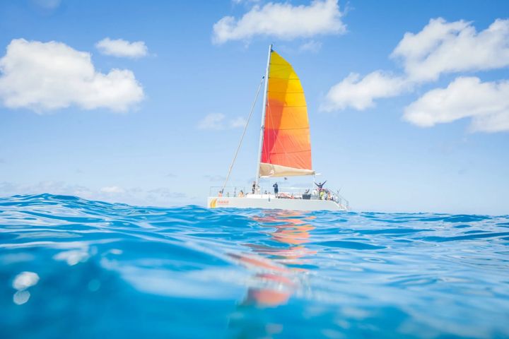
The sunset sail loads off the sandCalm water year roundWalk everywhere
Waikiki is two miles of beach on the sheltered south shore, backed by the hotel strip of Kalākaua Avenue and watched over by Diamond Head. The water is reef-protected and calm nearly every day of the year, the surf is the gentlest in the world for learning, and everything from the sunset catamaran to the aquarium to the crater hike is walkable or a short bus ride. The Fort DeRussy end (the Hilton, the Outrigger Reef, the Halekulani) is quieter; the Royal Hawaiian and Moana end is the classic strip; Kūhiō Beach and Queen's are the calm family swimming ends by the breakwaters.
Stay here if it is your first trip, if you do not want a car, or if you want to walk to dinner. Three of our seven adventures start within ten minutes.
The harbor
Kewalo Basin, Ala Moana and Kakaʻako
Parasail and snorkel boats1125 Ala Moana Blvd10 min from Waikiki
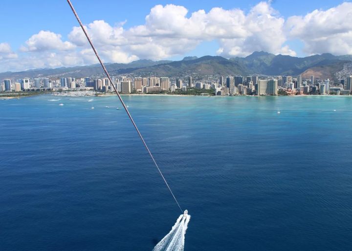
Kewalo Basin is the small-boat harbor between Ala Moana Beach Park and Kakaʻako Waterfront Park, a ten-minute drive west of Waikiki along Ala Moana Boulevard. It is where the parasail boats, the snorkel catamarans, the fishing charters and most of the whale-watch boats tie up. Parking is free, the slips are easy to find, and the harbor is bracketed by Ala Moana's calm lagoon on one side and Kakaʻako's murals, breweries and food halls on the other. Ala Moana Center, the biggest open-air mall in the world, is across the road.
Past Diamond Head
East Honolulu: Hanauma Bay, Hawaiʻi Kai and the Kaʻiwi Coast
Hanauma Bay snorkelingKoko Head stairs25 min from Waikiki
East of Diamond Head the suburbs of Kāhala and Hawaiʻi Kai run out to the island's south-east corner, where the road climbs past Hanauma Bay, Koko Crater and the Hālona Blowhole along the wild Kaʻiwi coast to Makapuʻu. Hanauma Bay is the best shore snorkeling on Oʻahu and needs an online reservation two days ahead; it is closed Mondays and Tuesdays. The Koko Head railway stairs are the island's hardest short hike and the Makapuʻu lighthouse trail is its easiest great one, with whales below from December to April. Hawaiʻi Kai's Maunalua Bay has jet skis and banana boats.
Over the Pali
The Windward Side: Kailua, Lanikai, Kāneʻohe and Waimānalo
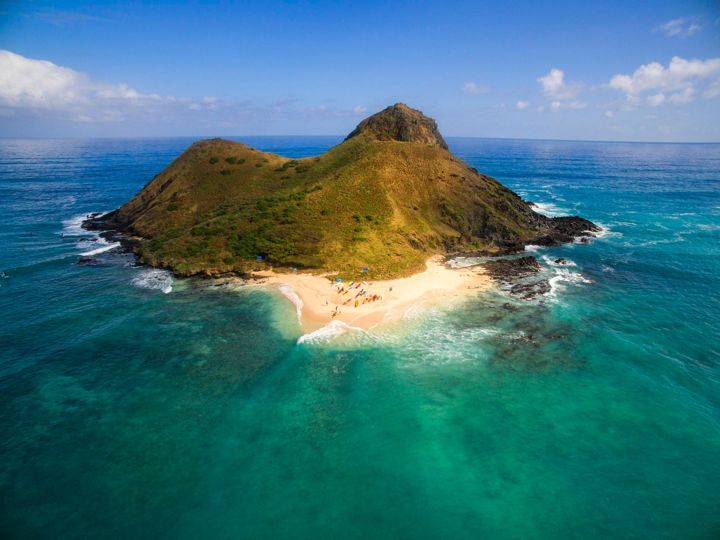
Mokulua Islands kayakLanikai and Kailua beaches35 min from Waikiki
Drive through the Pali tunnels and the island changes: the trade winds, the green Koʻolau cliffs, and the turquoise bays of Kailua and Lanikai. Kailua is a real town with a beach that has parking, lifeguards and kayak rentals; Lanikai next door is the postcard beach with no facilities and the twin Mokulua Islands offshore. Kāneʻohe Bay to the north has the sandbar and the Byodo-In Temple; Waimānalo to the south has the longest, emptiest white-sand beach on the island under a wall of cliffs. The trades keep this coast cooler and wetter than Waikiki, and the water is calmest in the morning.
Stay here if you have been to Waikiki before and want quiet; vacation rentals are the only option and they go fast.
Country
The North Shore: Haleʻiwa, Waialua, Waimea Bay and Sunset Beach
Shark snorkel and ATVBig surf Nov to Mar, flat May to Sep1 hour from Waikiki
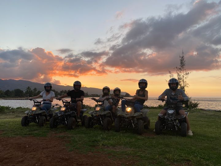
The North Shore is seven miles of beaches along Kamehameha Highway from Haleʻiwa to Sunset Beach, and it is a different Hawaii from Waikiki: one road, shrimp trucks, shave ice, surf shops, and the most famous waves in the world. Haleʻiwa is the town and the harbor, where the shark boats leave; Waialua next door is the old sugar town with the ATV farm. Waimea Bay, Sharks Cove and Sunset Beach are strung along the coast to the east, 10 to 15 minutes from Haleʻiwa. In winter (November to March) the surf is 10 to 30 feet and the beaches are for watching; in summer the same bays are flat, glassy snorkel spots.
Few hotels, mostly Turtle Bay at the far end. Most visitors come for the day; leave Waikiki by 6:30 am to beat the H-2.
Leeward and dry
The West Side: Ko Olina, Kapolei, Waiʻanae and Mākaha
Dolphin safariKo Olina lagoons45 to 60 min from Waikiki
The leeward coast is the dry, sunny side of the island in the lee of the Waiʻanae mountains. Ko Olina, at the south end, is the resort enclave with four man-made lagoons, the Disney and Four Seasons hotels and the calmest swimming on Oʻahu. Beyond it, Farrington Highway runs north along a coast of local towns and empty beaches, Nānākuli, Māʻili, Waiʻanae and Mākaha, where the spinner dolphins rest in the bays each morning and the dolphin and whale boats leave from Waiʻanae Harbor. It is the least touristed coast on the island and the most Hawaiian; be a good guest.
Stay in Ko Olina if you want a resort with calm water and sun almost guaranteed, and do not mind being 45 minutes from Waikiki.
The middle
Pearl Harbor and Central Oʻahu
USS Arizona MemorialDole PlantationOn the way to the North Shore
Between Honolulu and the North Shore the island's central plain holds Pearl Harbor, the pineapple fields and the towns of Wahiawā and Mililani. The Pearl Harbor National Memorial is 20 minutes from Waikiki and the most visited site in Hawaii; the USS Arizona boat program needs a reservation, and the museums, the Missouri and the submarine fill a half day. The Dole Plantation sits on the Kamehameha Highway on the way to Haleʻiwa and makes a natural stop on a North Shore day.